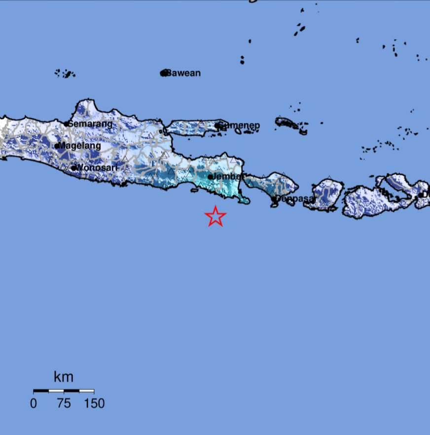
BALINEWSID.COM, JEMBER – A tectonic earthquake struck the southeastern region of Jember, East Java, on Tuesday (May 26, 2026) at 3:39 p.m. WIB. Indonesia’s Meteorology, Climatology, and Geophysics Agency (BMKG) confirmed that the quake did not have the potential to trigger a tsunami.
According to BMKG’s analysis, the earthquake was updated to a magnitude of 4.8 after initially being reported at magnitude 5.1. The epicenter was located at coordinates 9.07° South Latitude and 113.82° East Longitude, approximately 99 kilometers southeast of Jember Regency, East Java, at a depth of 14 kilometers.
BMKG Director for Earthquakes and Tsunami, Dr. Wijayanto, stated that the quake was classified as a shallow earthquake caused by rock deformation activity within the tectonic plate. The source mechanism analysis indicated a strike-slip fault movement.
The earthquake was felt across several regions. In Jember, the intensity reached IV on the Modified Mercalli Intensity (MMI) scale, while Banyuwangi recorded III-IV MMI. Tremors were also felt in Bondowoso, Kuta, South Kuta, and Malang with an intensity of III MMI.
Meanwhile, residents in Denpasar experienced tremors at II-III MMI intensity, while Blitar and Trenggalek recorded II MMI.
BMKG emphasized that modeling results showed the earthquake posed no tsunami threat. As of 3:55 p.m. WIB, monitoring data had not detected any aftershocks.
The public has been urged to remain calm and only rely on official information issued through BMKG’s verified communication channels.